Applied researchers offer peace of mind for once-evacuated community
“Everytime a wisp of smoke comes up, it’s a bit of PTSD”
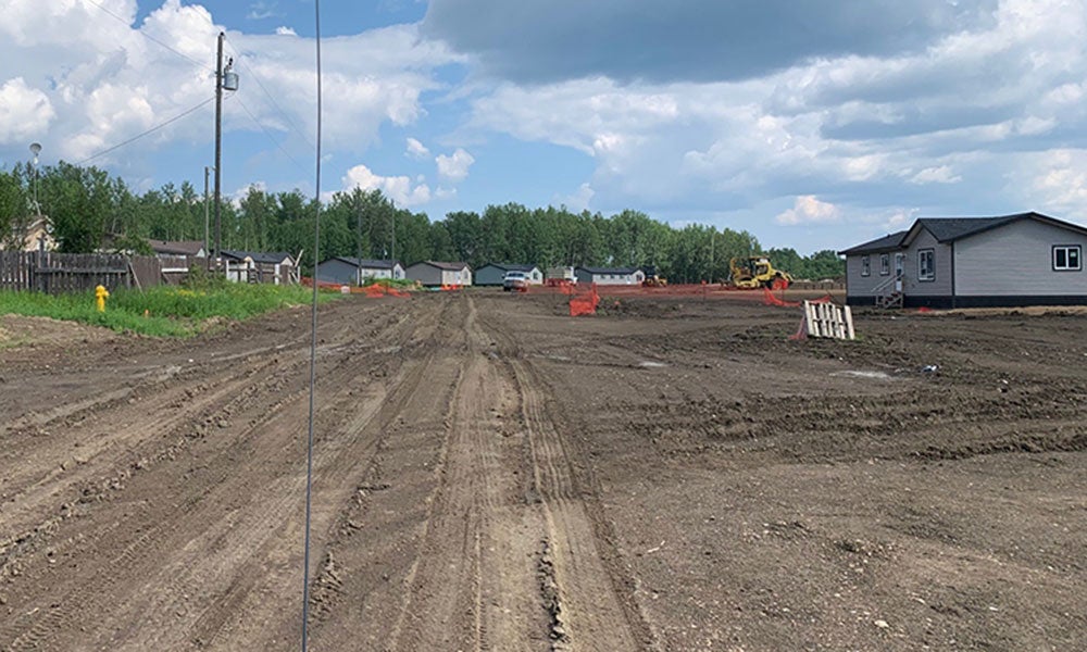
Since spring 2023, the walls of many homes at Peavine Métis Settlement have been conspicuously bare. Precious photos that hung on them remain in go-bags into which they were hurriedly packed more than two years ago.
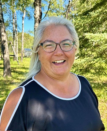
It’s a legacy of crisis, explains Lynn Smith, Peavine regional planning coordinator.
She and her fellow community members spent most of that May evacuated due to wildfire. The immediate threat has passed but uncertainty, if not outright fear, has persisted.
“Every time a wisp of smoke comes up, it’s a bit of PTSD,” says Smith.
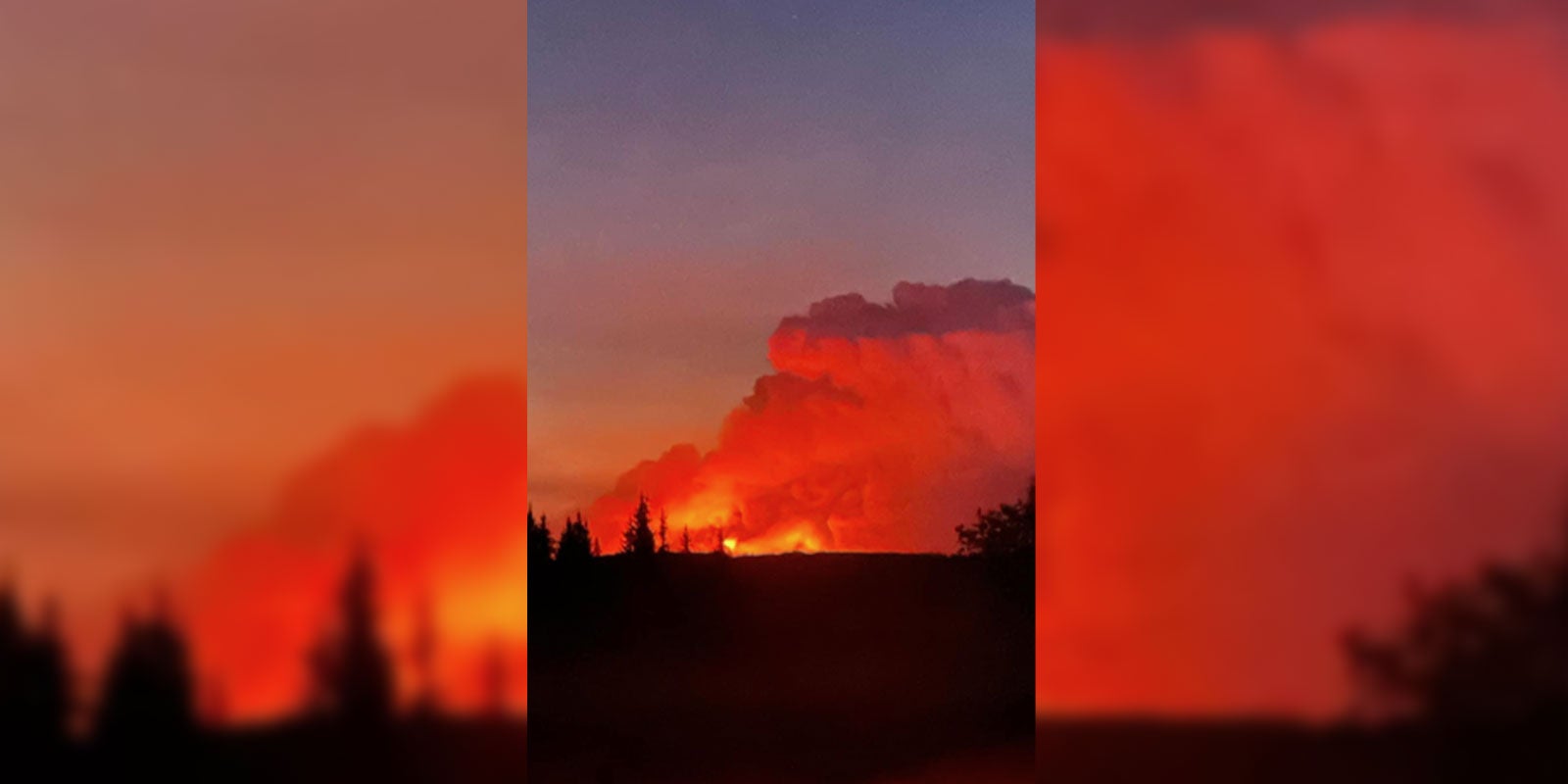
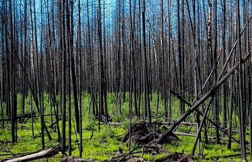
She’ll never forget how close the Grizzly Complex, a series of fires then totalling more than 80,000 hectares, came before it forced residents out of the northwest Alberta settlement.
The army came to help, but officers warned that they may not be able to guarantee safety. Outside was a scene like an apocalyptic winter.
“It was dark, and there was ash falling,” says Smith. “You walked out with a mask on.”
Naturally, she hopes never to experience that again. With wildfire activity increasing in Alberta, however, Smith has no guarantees.
But the community has hope thanks to help from NAIT’s department of Applied Research. Staff from the Centre for Sensors and System Integration have partnered with Peavine on a project to detect fires at their earliest.
No lives or structures were lost to that 2023 blaze, but Smith calls it “a warning” – one she feels her community may now be better positioned to heed.
A wildfire tripwire
Before joining NAIT as the JR Shaw Applied Research Chair in Industrial Automation, Dr. Quamrul Huda developed an innovative sensing system to detect and study environmental factors associated with wildfires in Alberta's boreal forest, including temperature, humidity and air quality. In August 2024, he asked Smith about the possibility of revisiting such work with an installation at Peavine.
Before the fire, they had been discussing another project around improvements to local connectivity through NAIT’s 5G hub. The evacuation put that on hold, and shifted priorities.
Peavine is a remote community in the boreal forest, well off of major routes and small enough to be missed on Google Maps without significant zooming in. It’s also removed from provincial monitoring networks.
“We planned the project so it can detect wildfires in a community earlier than we are typically able through satellite imagery or an air monitoring station that is located [far] away,” says Huda. By the time the latter happens, fires tend to be too hot to handle at the local level.
“If we embed sensors in a neighbourhood or a community … it would trigger an early warning.”
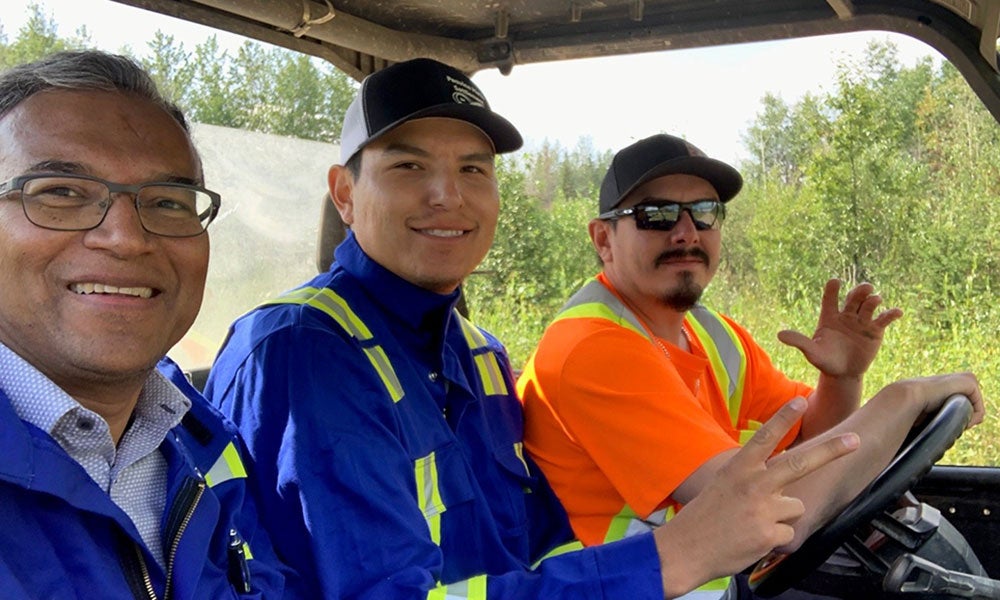
In this case, those sensors will be housed in plastic cases, each a little smaller than a cubic foot, and placed in trees about 30 kilometres outside of Peavine, like a wildfire tripwire. The network will send information wirelessly back to a central office to be interpreted by trained staff members from the community.
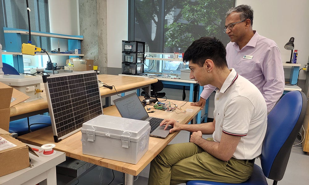
The system will be completely customized, work that is the focus of research student Nubal Manhas (Bachelor of Technology ’25, Computer Engineering Technology ’22). He’s identified off-the-shelf technology for spotting nascent wildfires and the conditions that spark them. Manhas has also crafted a user-friendly interface.
“It’s ultimately about finding the right tools, learning them and then integrating them,” he says.
A working prototype is just the start of what excites Manhas and Huda about the work. They’re motivated as much by community impact as by tools.
“The exciting thing about this project is that you can apply technology … and see the outcome almost right away,” says Huda.
Local impact, and beyond
In early August, the NAIT team deployed their prototype alongside air monitoring equipment at the Alberta Capital Airshed’s Edmonton McCauley station, which generates data used in calculating the Air Quality Health Index. They want to compare accuracy and validate their device before use at Peavine.
Likely, the system will be installed at the community before next year’s fire season.
In addition to providing warnings, it will accumulate data; patterns will emerge, indicating times of low risk of wildfire and high. It will be a new tool to help Peavine ensure its own well-being.
Smith describes the area around the settlement’s nine townships as having been “decimated” by the 2023 fire.
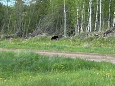
Animals lost habitat, pushing them into communities where they scavenge for food. Local berry picking by locals is impossible until plants regrow from scorched soil. Residents still hesitate to fill freezers with game, worried it will go to waste if there’s another evacuation.
In time, the system may begin to replace PTSD with peace of mind.
“Hopefully with these sensors we’ll get a heads-up before you even see a wisp of smoke,” says Smith.
She also hopes it will bring comfort to others one day. Huda envisions tying the system into Alberta’s broader monitoring network to fill a gap, should Peavine choose to share their data.
And, if all goes well, the model could be replicated elsewhere in the province – or anywhere in Canada, currently experiencing one of its worst wildfire seasons on record.
“If you could help people across the country to detect these fires, you would save so much infrastructure and money,” says Smith.
“There’s a huge impact if this works out. At the end of the day, I don’t mind being part of the pilot project.”
Northern Alberta Institute of Technology
Mailing Address:
11762 - 106 Street
Edmonton, AB, Canada, T5G 2R1
At NAIT, we honour and acknowledge that the land on which we learn, work and live is Treaty Six territory. We seek to learn from history and the lessons that have come before us, and to draw on the wisdom of the First Peoples in Canada. Only through learning can we move forward in truth and reconciliation, and to a better future together. Read more
About techlifetoday
Techlifetoday is the source for NAIT alumni and students to discover news about the polytechnic, and insights, advice and inspiration from the NAIT community to help them build successful careers and lead fulfilling lives.